email:- m.b@contourmapfishing.co.uk
|
email:- m.b@contourmapfishing.co.uk |
|
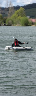
Bottom Harness Profile Maps now Available!! All maps for sale are available for immediate download after payment Welcome to M & B Contour Map Fishing, a site developed for fishermen, particularly aimed at those wanting to try a new water, planning a holiday or just after a better understanding of there local fishery. Valuable Fishing Time !! Our aim is to save this time by producing a detailed contour map of the fishery showing water depths, main bottom features and a plan of the water with relative positions of fishing pegs / swims. The rest as they say is up to you. By clicking on Venues A-Z or a County on the left you will find a list of fisheries, pick the venue of interest and click on the link. This will display a page and by clicking on one of the options you can download for Free or purchase a detailed contour map© which will greatly affect your choice of swim and also the areas to which you cast. Finally our thanks to Alderwood Ponds for their patience and help in getting this project started. |  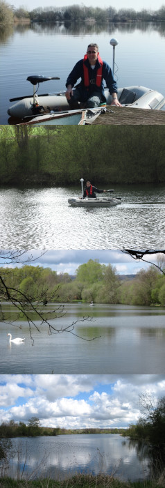 |